Duderstadt Gallery: Section 1 - Urban Plan
(Click on images in the large image below to view)
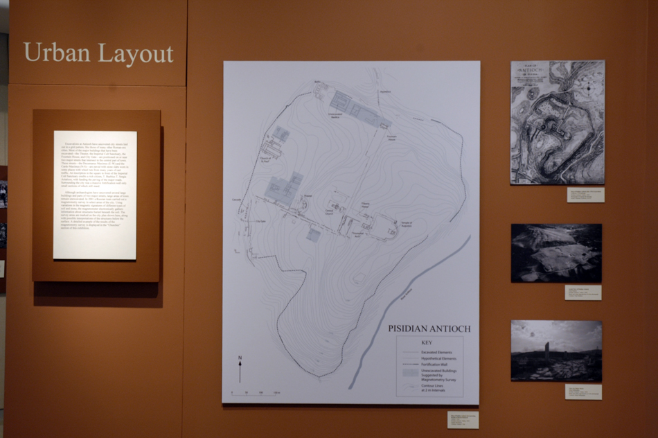
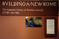
Excavations at Antioch have uncovered city streets laid out in a grid pattern, like those of many other Roman-era cities. Most of the major buildings that have been excavated—the Theater, the Imperial Cult Sanctuary, the Fountain House, and City Gate—are positioned on or near two major streets that intersect in the central part of town. These streets—the Decumanus Maximus (E-W) and the Cardo Maximus (N-S)—are paved with stone slabs worn in some places with wheel ruts from many years of cart traffic. An inscription in the square in front of the Imperial Cult Sanctuary credits a rich citizen, T. Baebius T. Sergia Asiaticus, with funding the paving of the major roads. Surrounding the city was a massive fortification wall only small sections of which still stand.
Although archaeologists have uncovered several large buildings and parts of two major streets, large areas of town remain unexcavated. In 2001 a Russian team carried out a magnetometry survey in select areas of the city. Using variations in the magnetic signatures of different types of soil and stone, the magnetometer electronically gathers information about structures buried beneath the soil. The survey areas are marked on the city plan shown here, along with possible interpretations of the structures below the surface. A detailed example of the results of the magnetometry survey is displayed in the “Churches” section of this exhibition.
 |
 |
 |
February 18, 2006
Digital Image
Courtesy of J. Matthew Harrington